In February we headed back to Patagonia, this time with our friends Cecilia and Andrew. Cecilia is a native of Argentina and lived for many years in Bariloche, so was able to put together an excellent itinerary to allow us an in-depth exploration of the area around Bariloche. Over a four week period we were able to visit many National Parks and hike some spectacular scenery.
This area of Northern Patagonia is quite different from the southern sector we visited last year, with many lakes and lush vegetation, making this trip a nice complement to our prior visit.
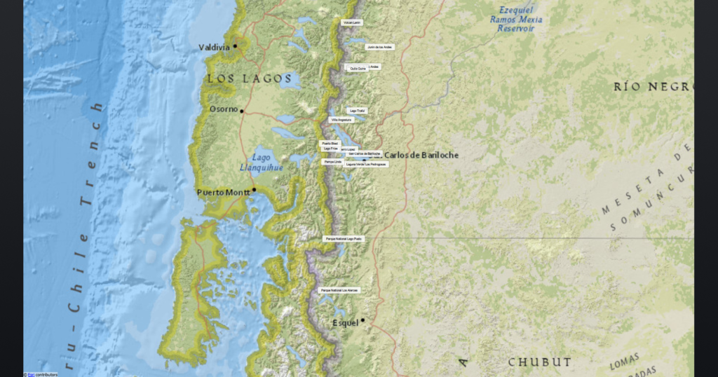
Below is an overview map showing the areas we visited.
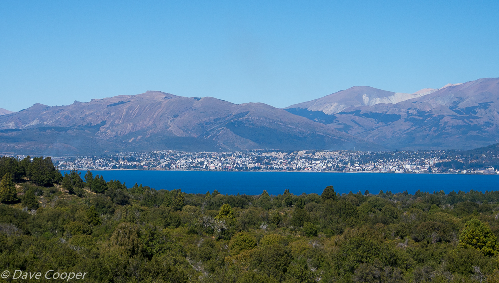
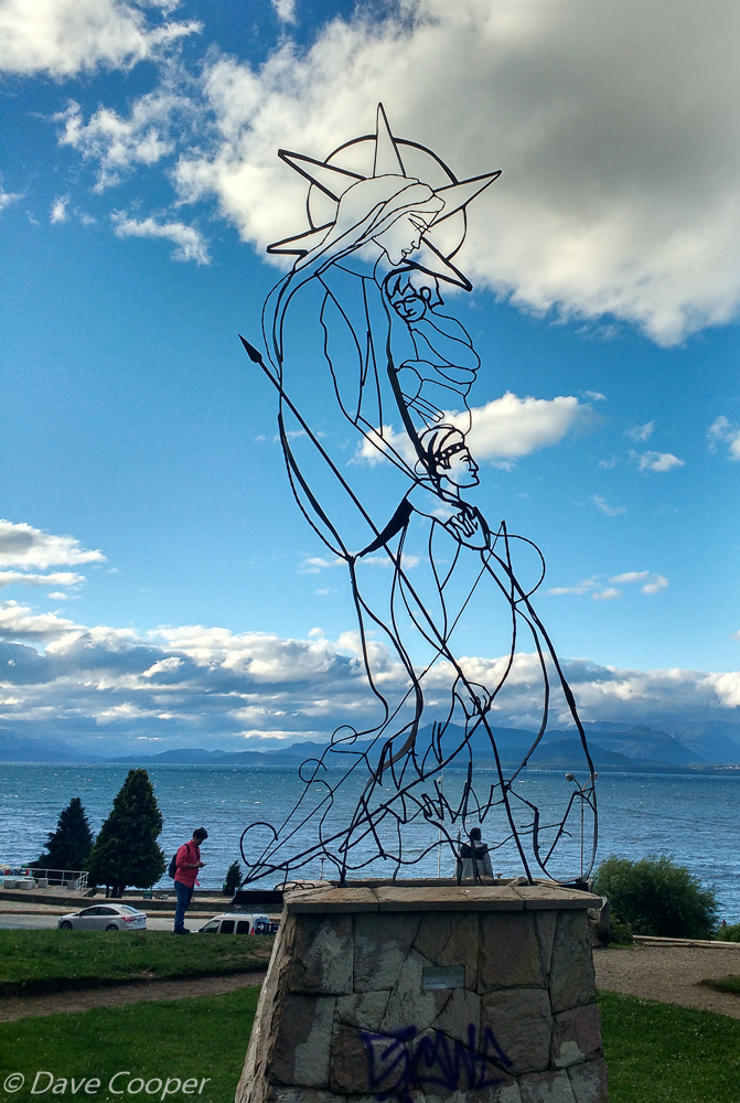
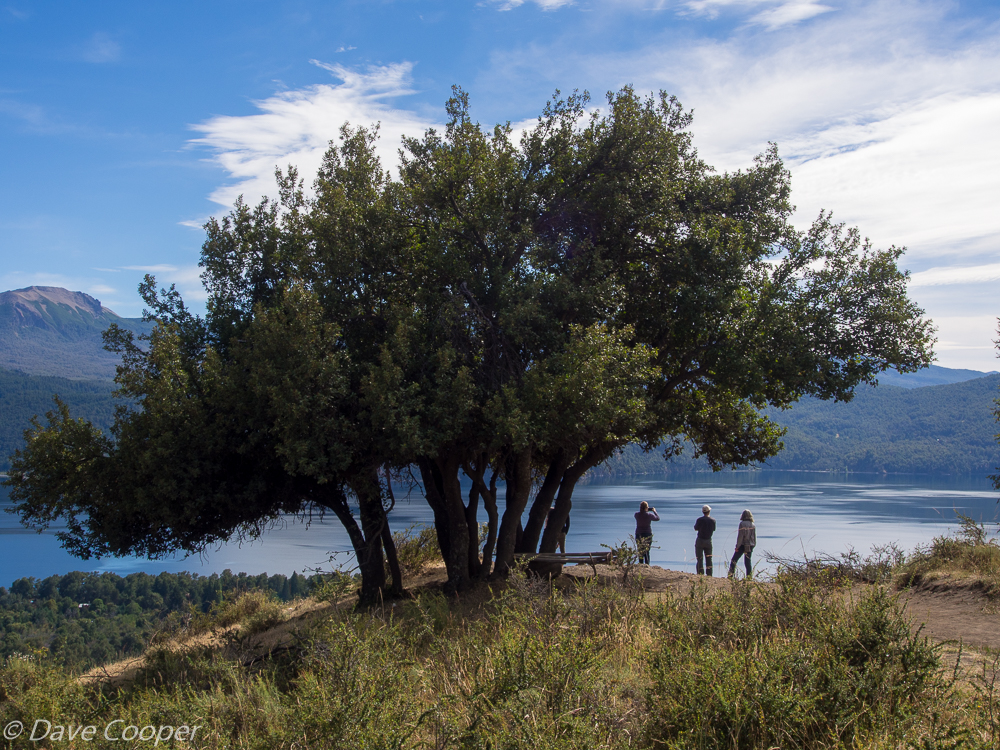
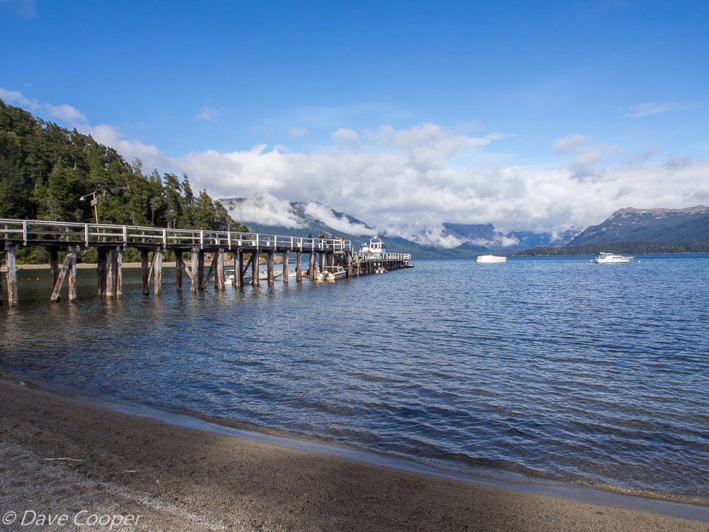
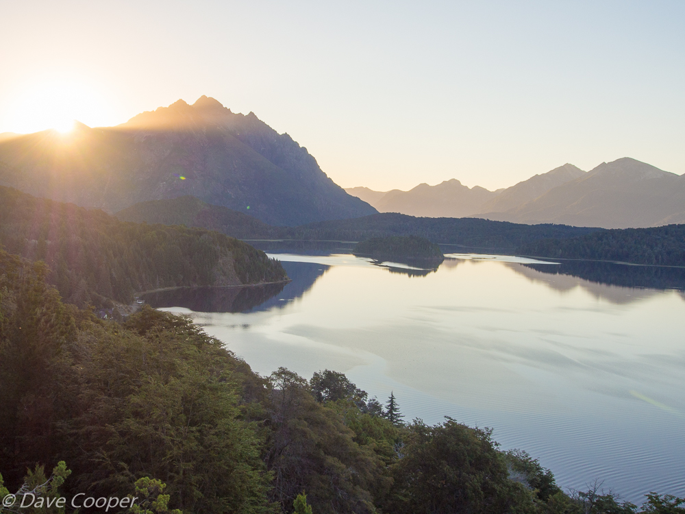
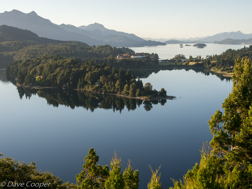
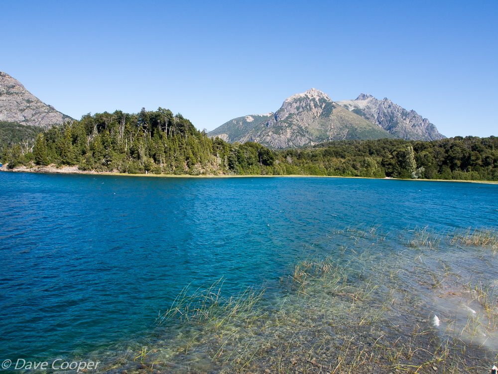
San Carlos de Bariloche is located on the shores of Lago Nahuel Huapi. We returned several times to this scenic town between excursions.
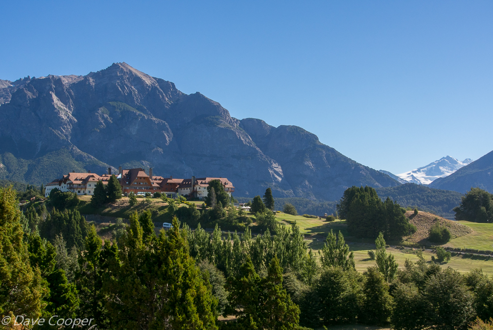
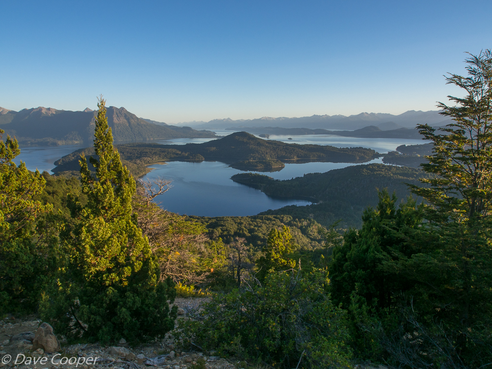
Our first evening we drove to Punto Panoramico, and Llao Llao , where we had our first view of Mont Tronador.
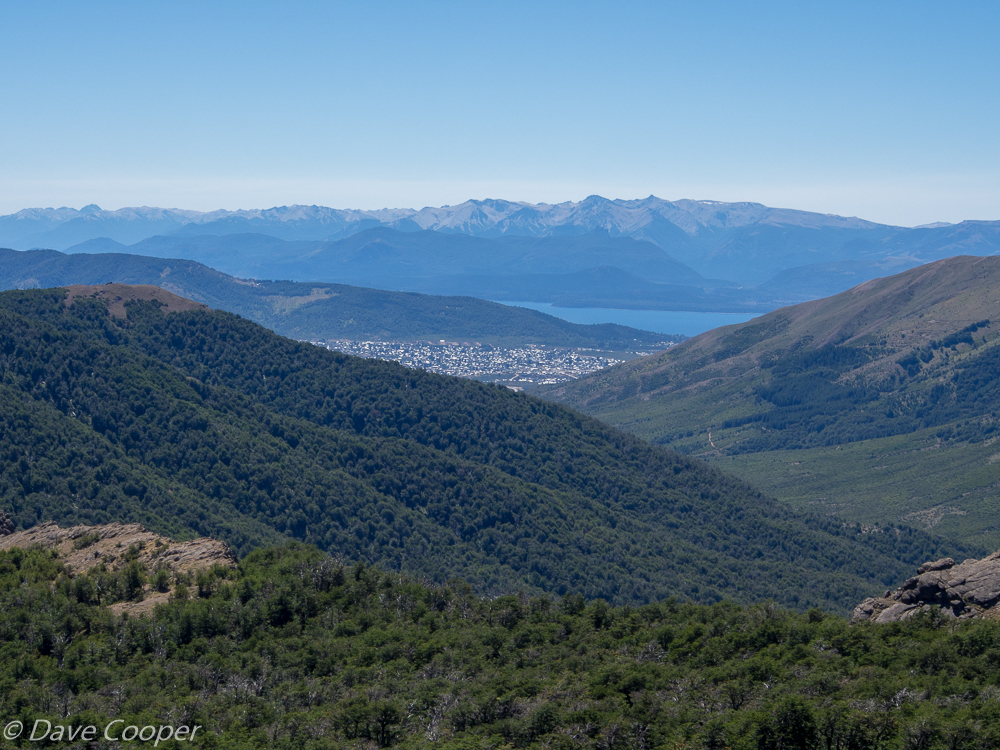
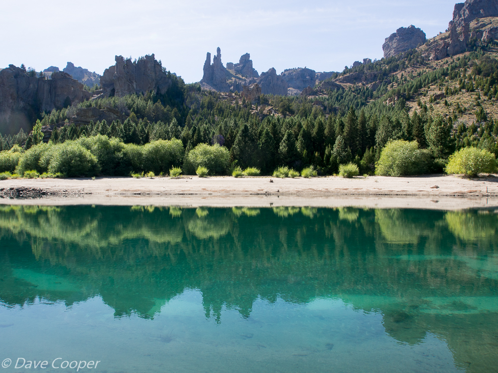
Our first hike was to Laguna Verde and Los Pedregogos, a short distance from Bariloche. From the summit of Pedregogos we could see Bariloche and Lago Nahuel Huapi.
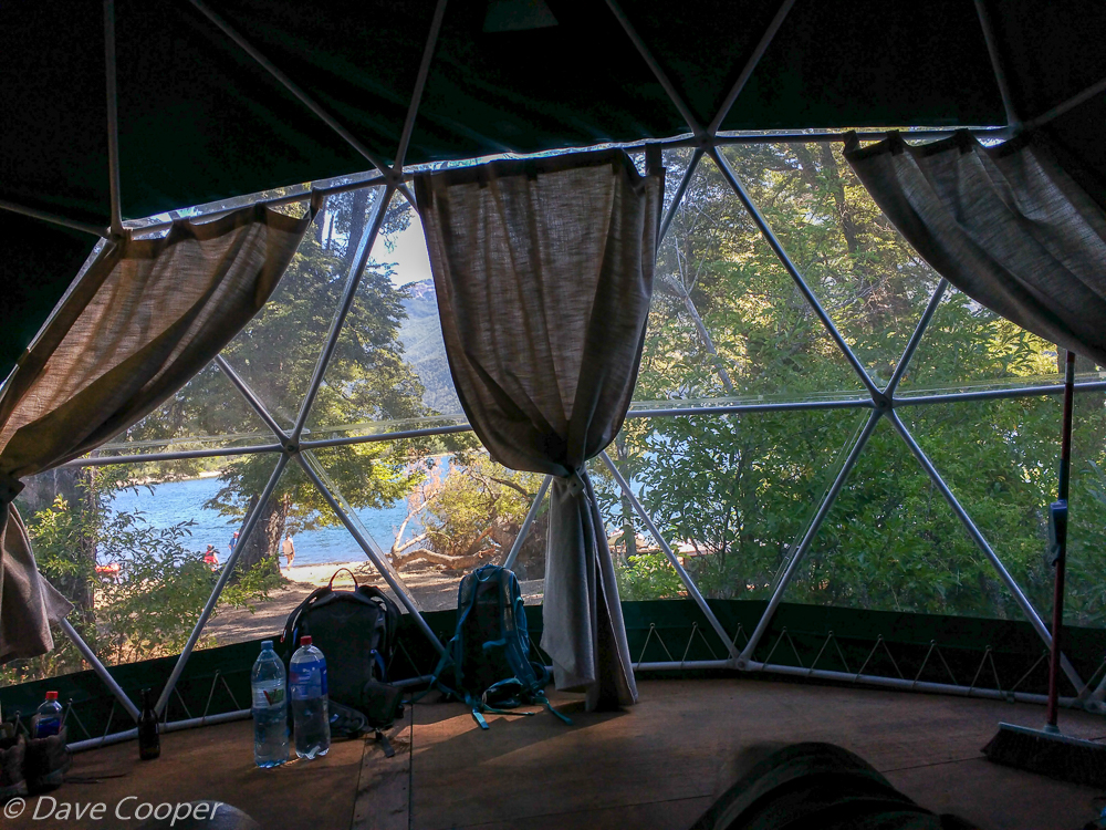
We next headed to the southernmost point on this trip, Parque Nacional Los Alerces, where we stayed in a campground in geodesic domes. This made a good basecamp for several days of exploration.
-
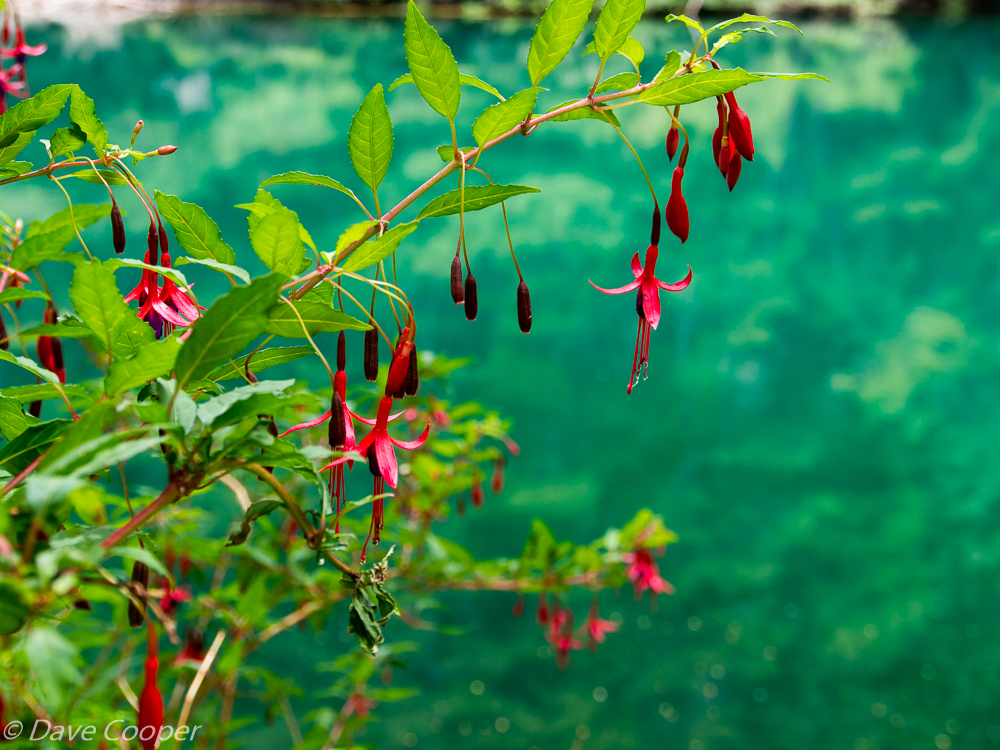
Fuchsia along the Rio Rivadavia -
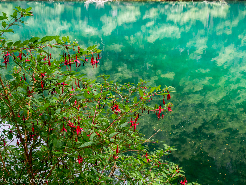
Fuchsia along the Rio Rivadavia -
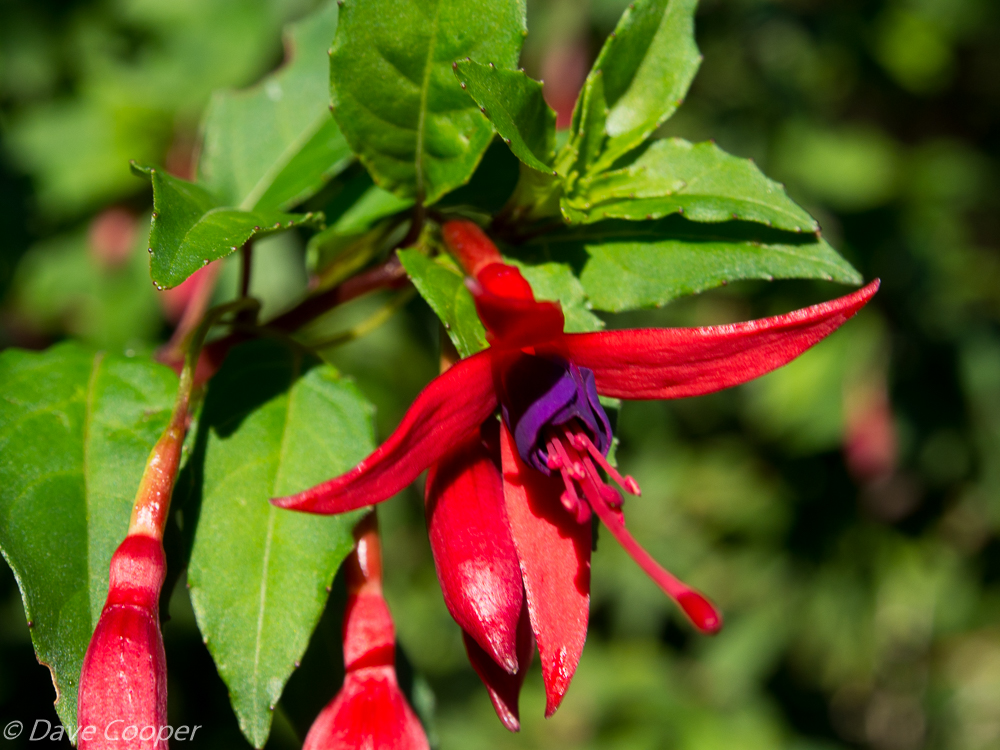
Fuchsia -

Lago Menendez and Cerro Torrecillas -
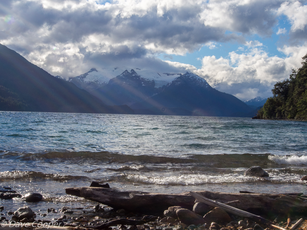
Lago Menendez and Cerro Torrecillas -
Punta Mattos -

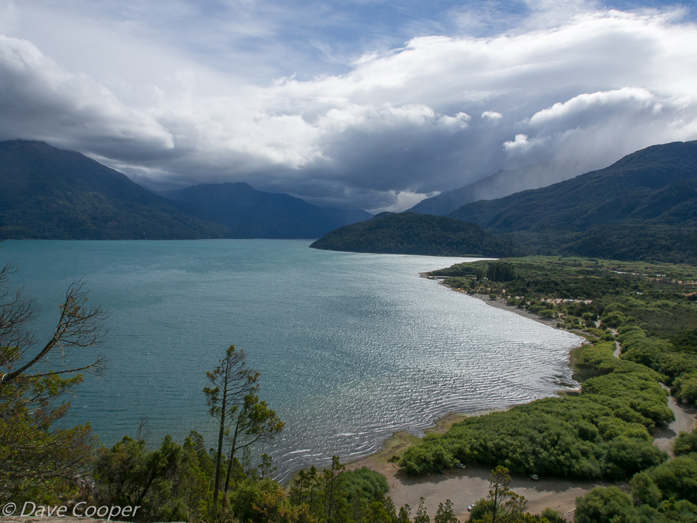
Lake on the way to Parque Nacional Los Alerces
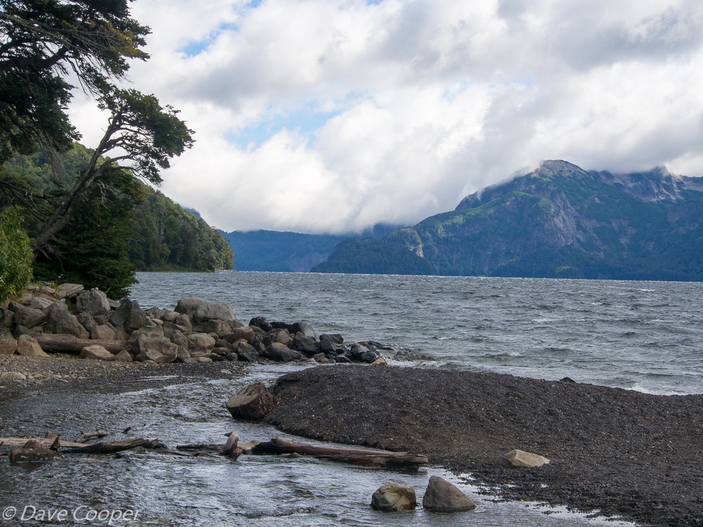
After leaving the Parque Nacional Los Alerces we stopped for a day at the very scenic Parque Nacional Lago Puelo where we hiked to a spectacular overlook.
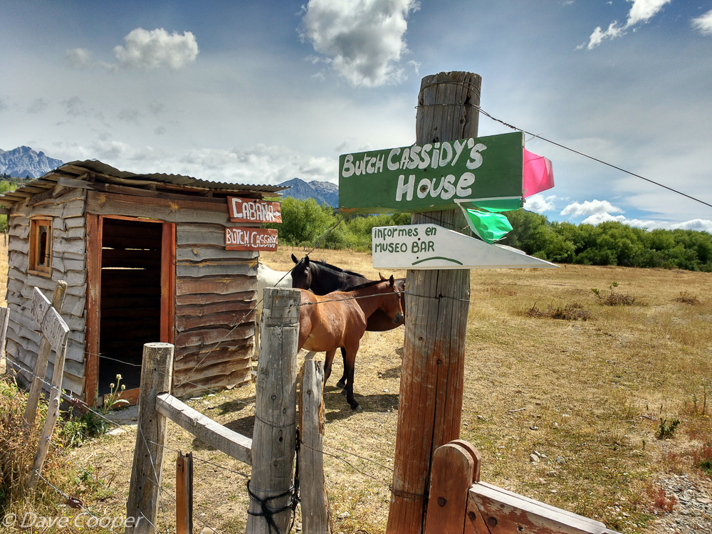
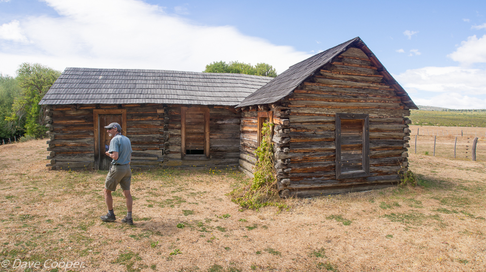
Of course we had to make a stop at Butch Cassiday’s reputed house!
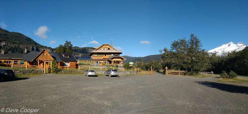
Back to Bariloche to arrange the next part of our trip, a trek from Pampa Linda to Puerto Frias, 28 kilometres through some of the most spectacular scenery of the trip. We took a bus to Pampa Linda, where we stayed in a very nice hotel for one night.
-
Pampa Linda -
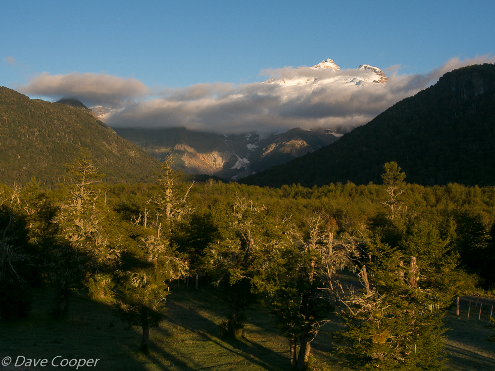
Tronador from Pampa Linda -
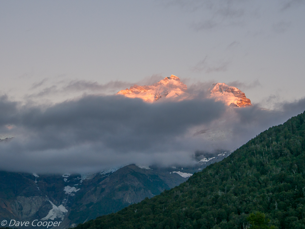
Sunrise on Tronador
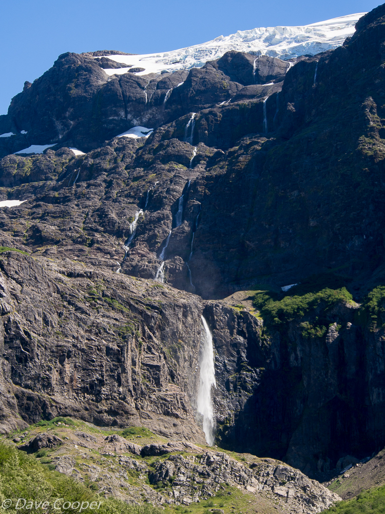
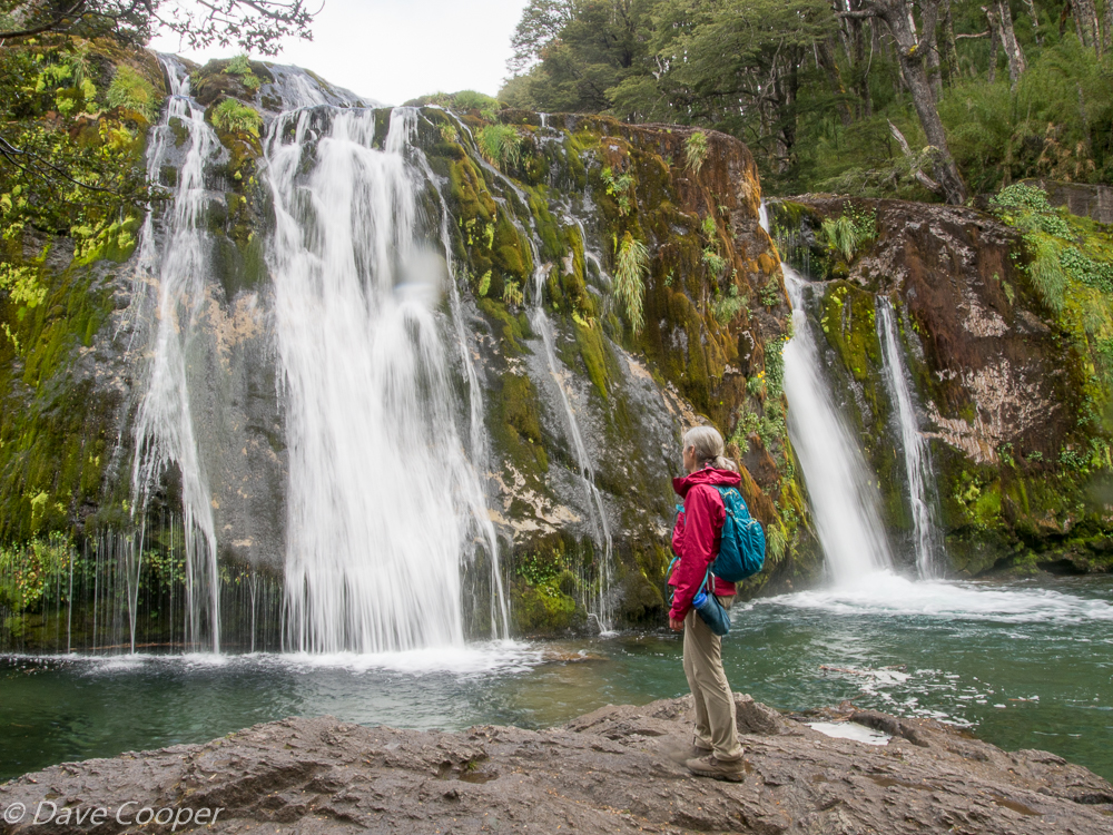
In the afternoon we had time to visit two spectacular viewpoints below Mont Tronador, The Black Glacier and a waterfall called Garganta de Diablo.
-
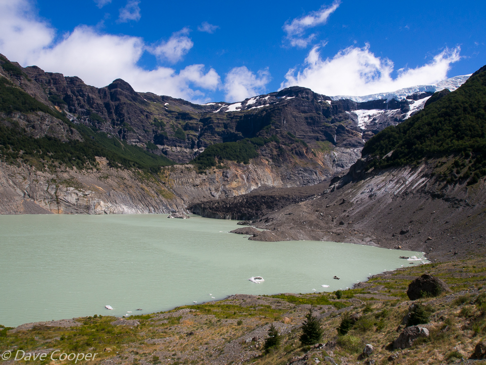
Black Glacier, Mount Tronador -
Garganta del Diablo -
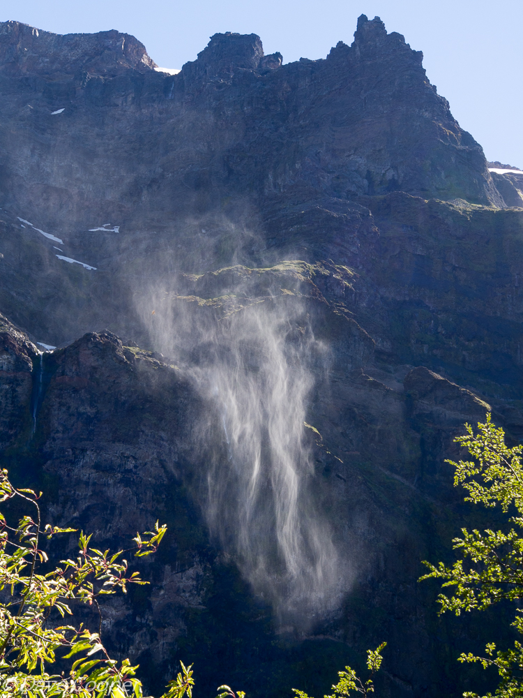
A waterfall caught by the wind
Mount Tronador “Thunder Mountain” One of the frequent serac falls that give the mountain its name.
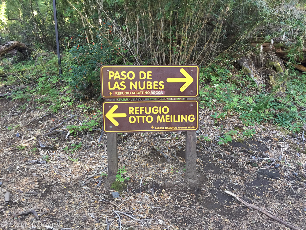
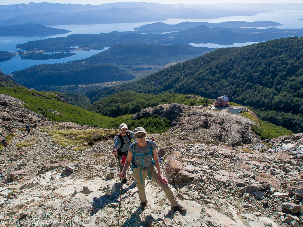
The next morning we headed up to the Refugio Rocca at Paso de Las Nubes where we would spent two nights. The hut is located in a spectacular location on the flanks of Mont Tronador, and offered some nice side trips on our rest day.
-
Hike to the Rufugio Rocca -
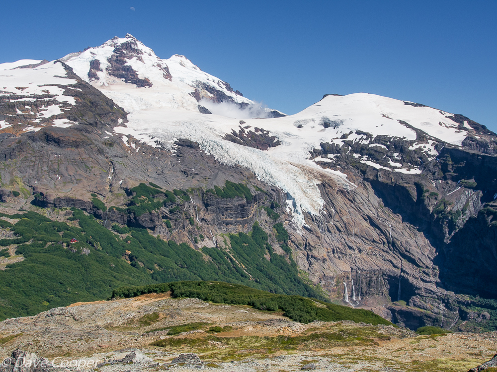
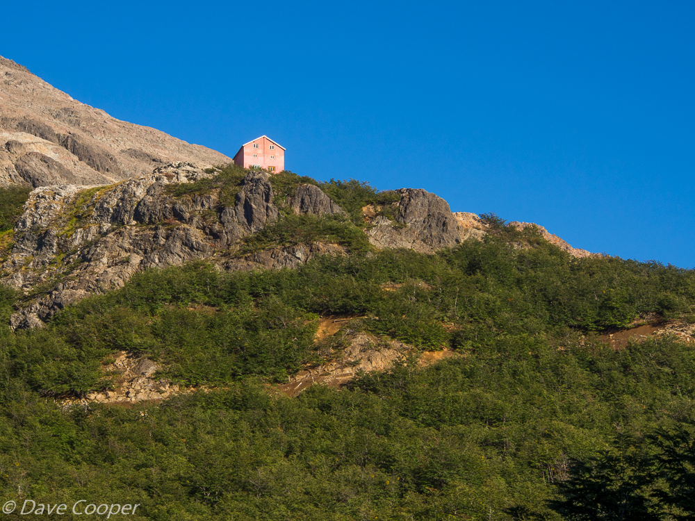
View of Tronador and the Refugio Rocca (the small red building at lower left) at Paso de las Nubes -
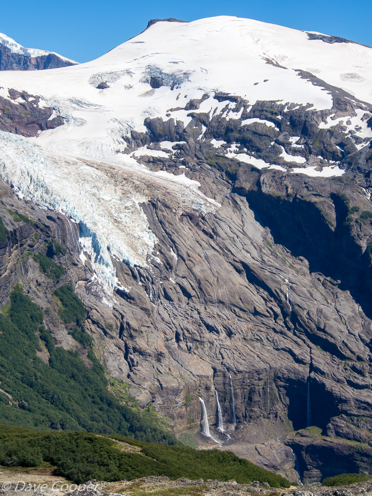
Waterfalls below Tronador -
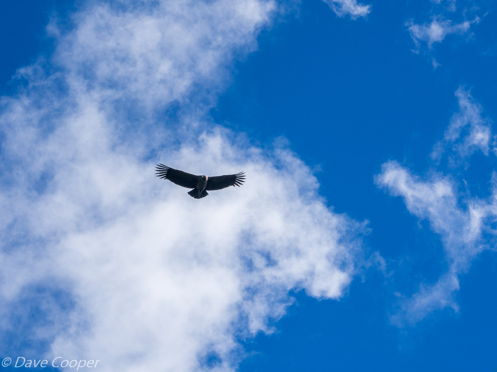
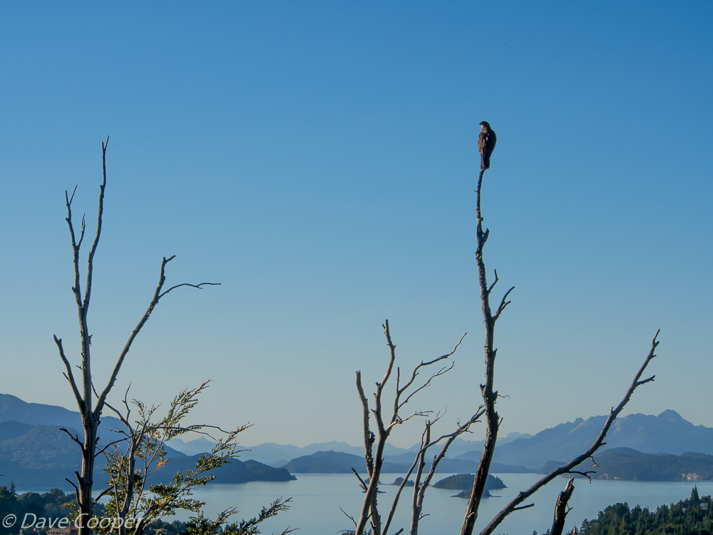
Condor circling above the Refugio Rocca -
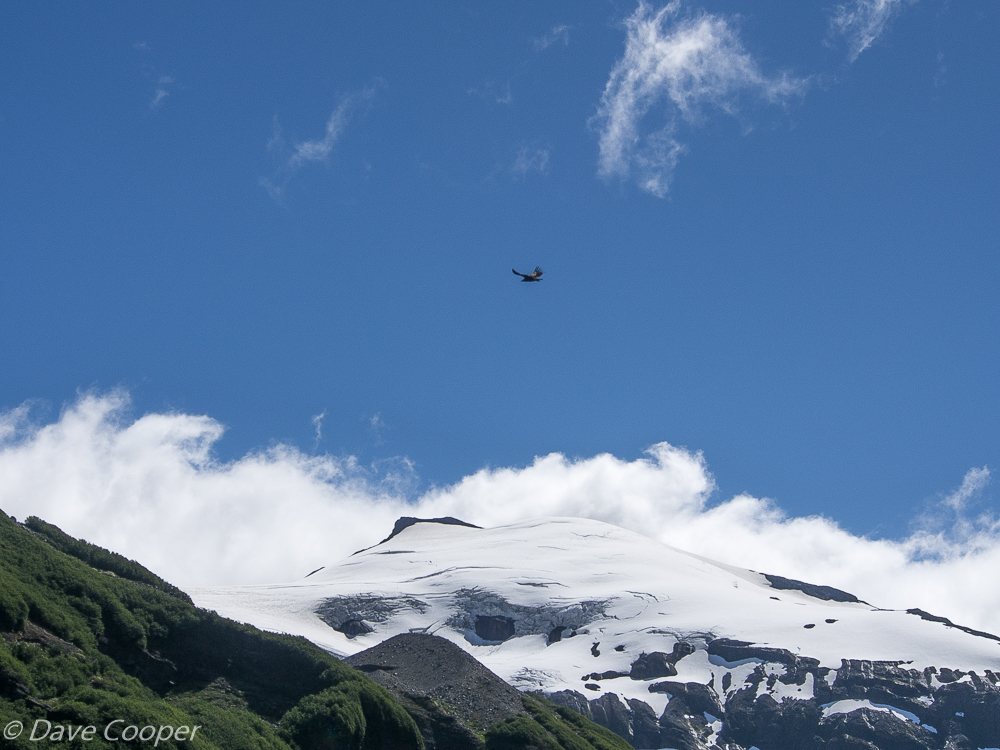
Condor and Mount Tronador -
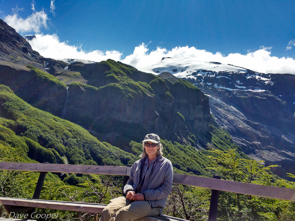
Enjoying the view from Refugio Rocca -
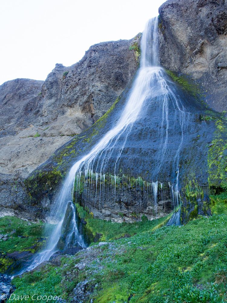
Waterfall by Refugo Rocca
While the 16 kilometer hike up to the Refugio was easy on a good trail, the 12 kilometer descent to Lago Frias was on a sometimes steep and rocky and sometimes muddy and at times obscure trail. At one point we were concerned that we might miss our boat to cross Lago Frias, our only way back to Bariloche. Luckily the last few kilometers were easier and we arrived at the port with plenty of time to spare.
-
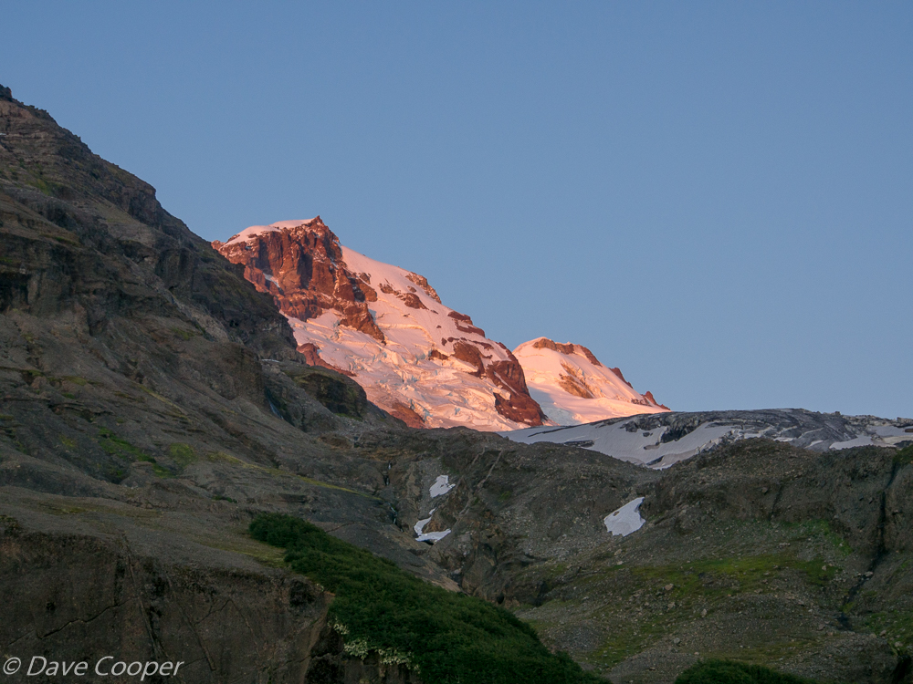
Sunrise on Tronador from Refugio Rocca -
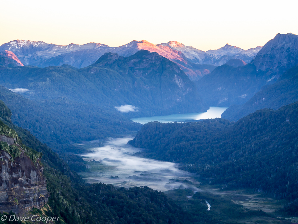
Our route from Paso de las Nubes along the Rio Frias to Lago Frias -
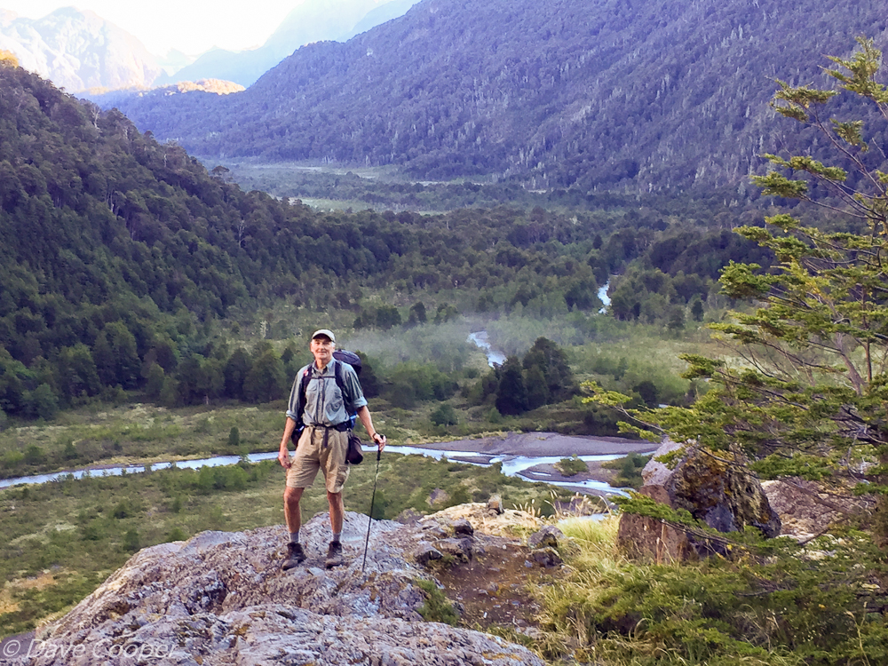
On the trail to Lago Frias -
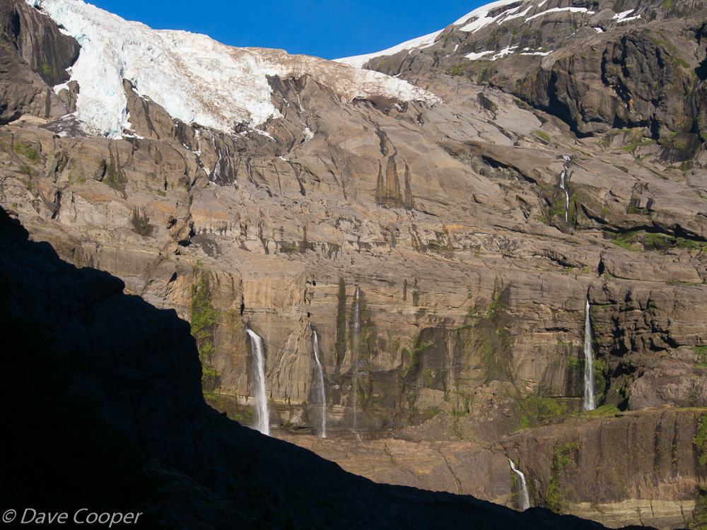
Impressive waterfalls below the glacier -
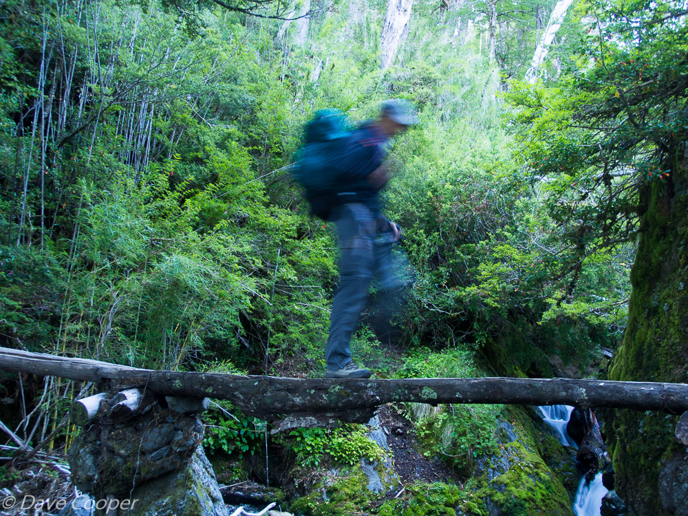
Bridge crossing on the trail to Lago Frias -
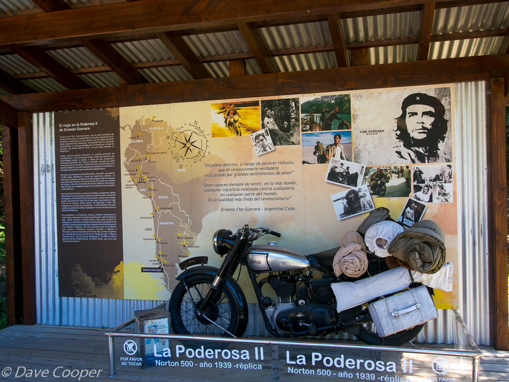
A replica of the motocycle Che Guevara rode from Argentina to Venezuela -
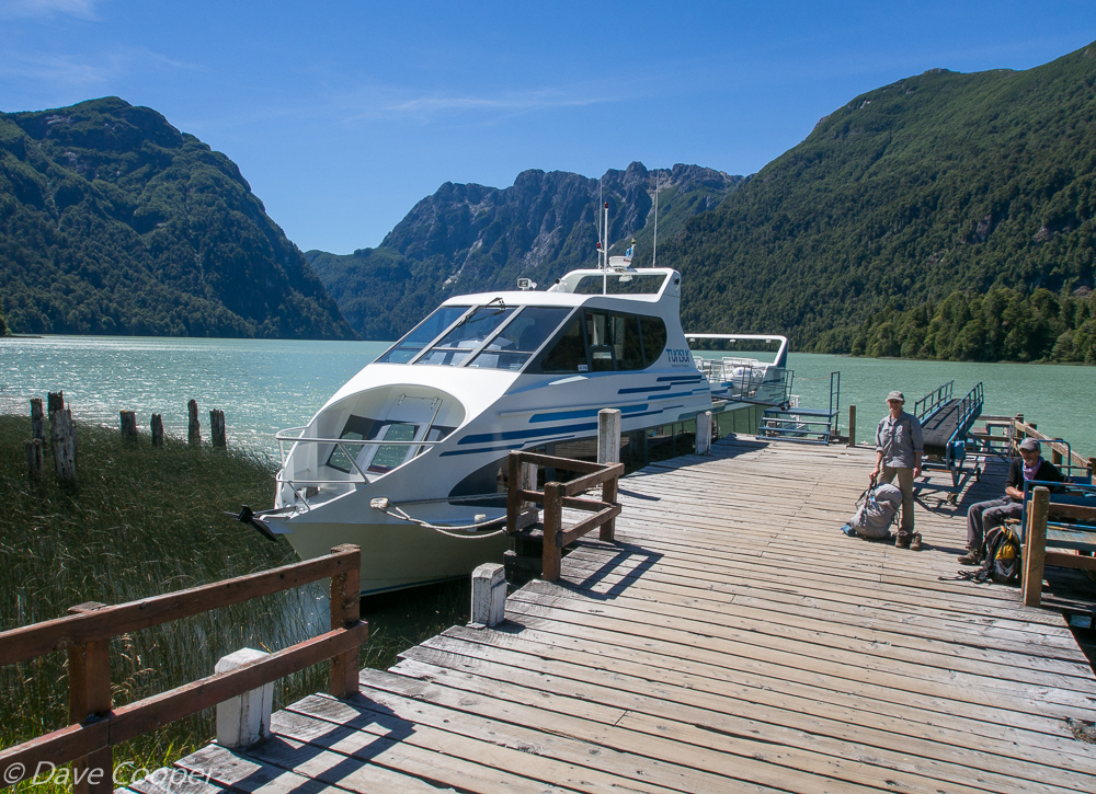
Taking the boat across Lago Frias -
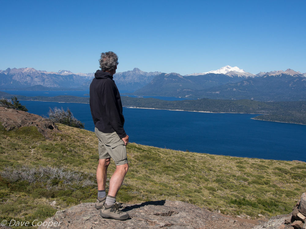
A boat ride across Lago Frias, a short bus ride to Puerto Blest and another boat ride back to Llao Llao, then a bus ride back to Bariloche made for a long day, but definitely worthwhile. The boat ride across Lago Frias offered another good view of Tronador.
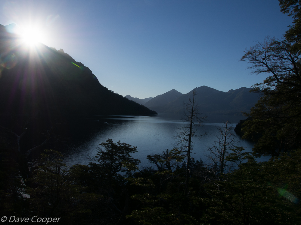
The next part of the trip took us north to San Martin de los Andes, a ski town nestled among the peaks. We also visited the Lanin Volcano, a spectacular snow and ice-covered pyramid.
-
Enchanted Valley -
Quila Quina -
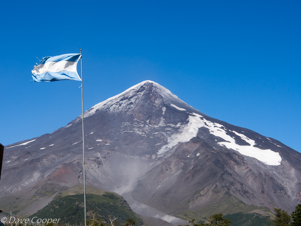
Volcan Lanin -
Lago Tromen -
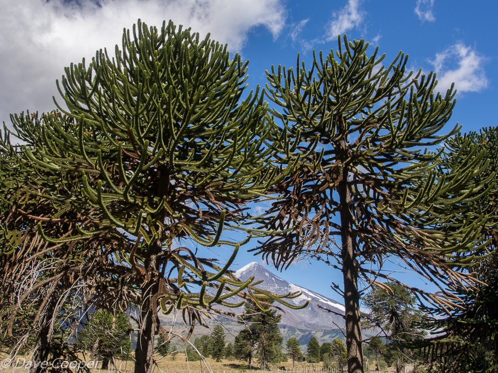
Volcan Lanin and araucaria trees -
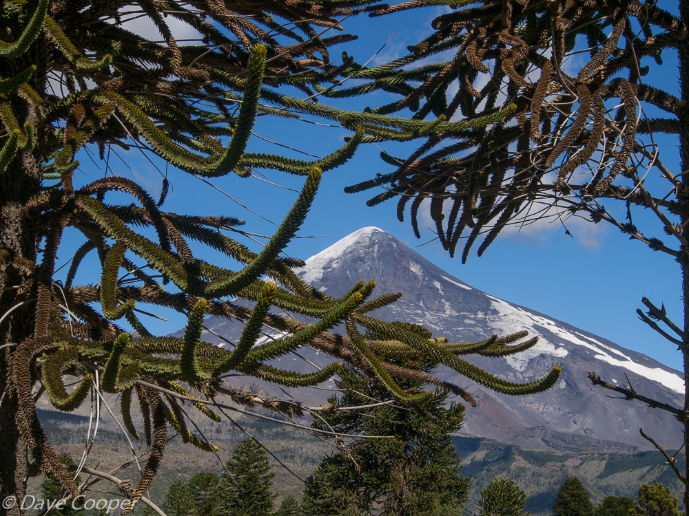
Volcan Lanin and araucaria trees -

Ginni and araucaria tree -
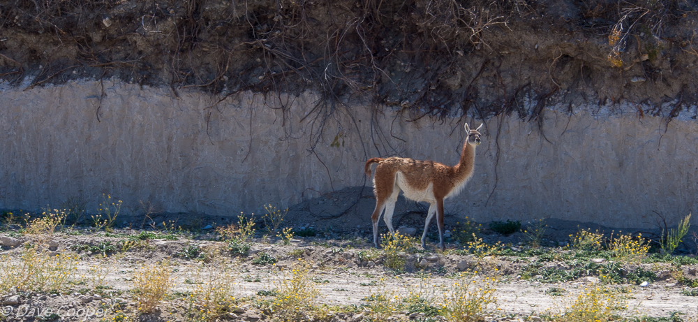
Guanaco -
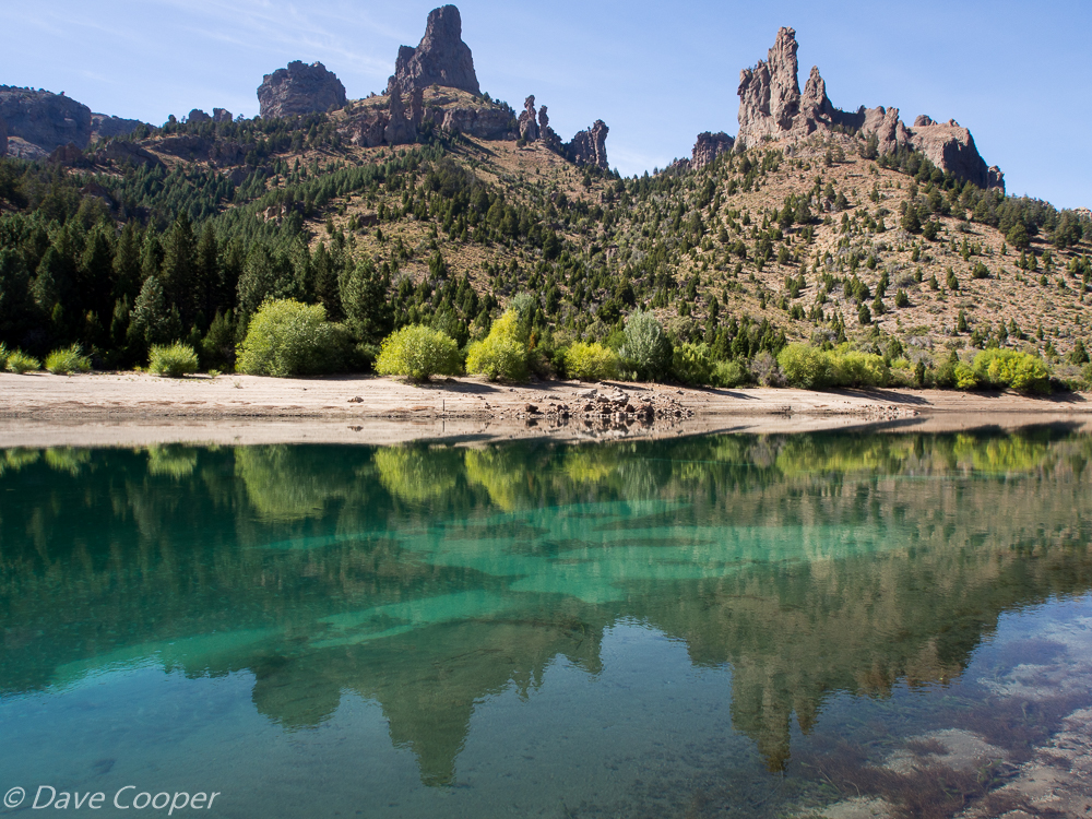
Valle Encantado “Enchanted Valley”
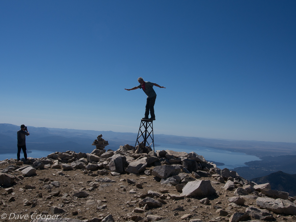
For the next week we based out of Villa Angostura, exploring many of the hiking trails in that area, including a boat trip to the Peninsula Quetrihue and the Bosque de Arrayanes, the starting point of an 11 kilometer hike back to town. The views from the summit of Cerro Centinella were so good I climbed it twice.
-
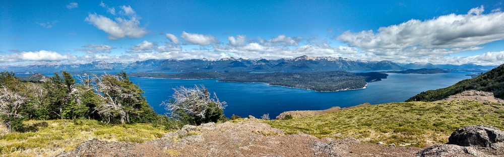
View of Lago Nahuel Huapi from the summit of Cerro Centinella -
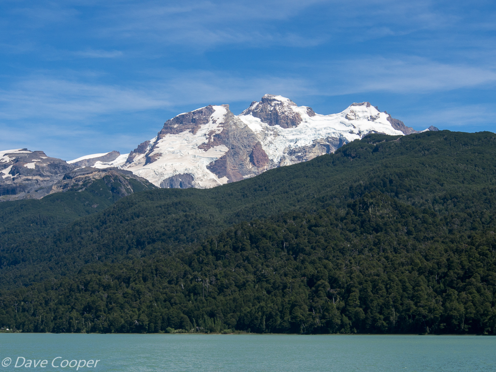
Tronador from the summit of Cerro Centinela -
-
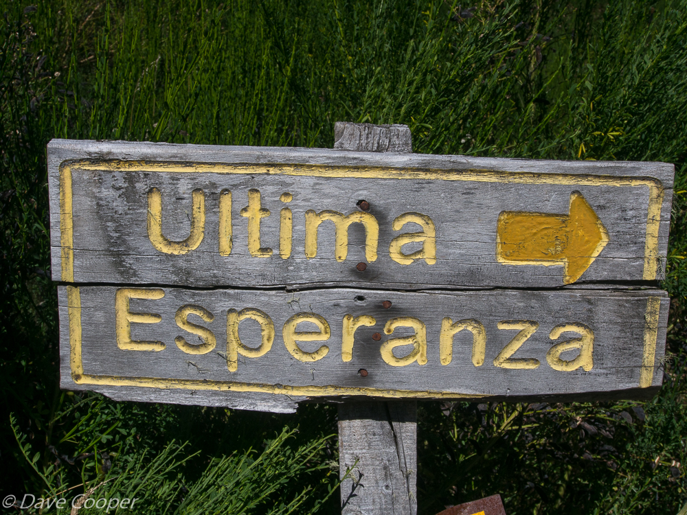
Brazo Ultima Esperanza -
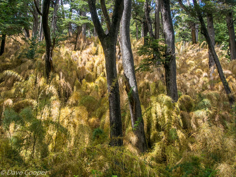
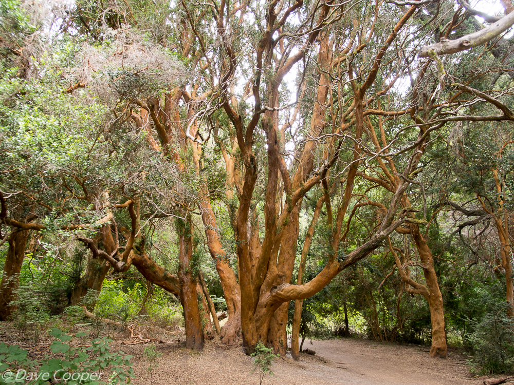
Coihue and Colihue -
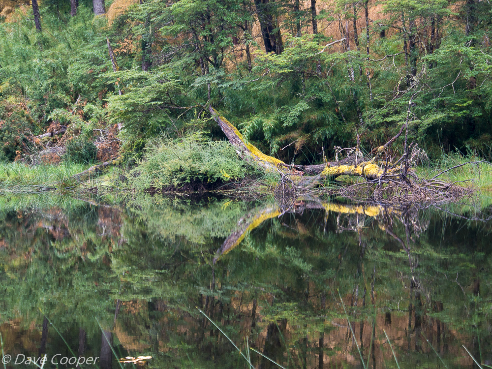
Lago La Rana, Angostura -
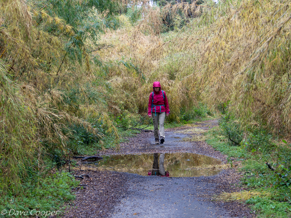
Camino Viejo, Angostura -
Coihue -
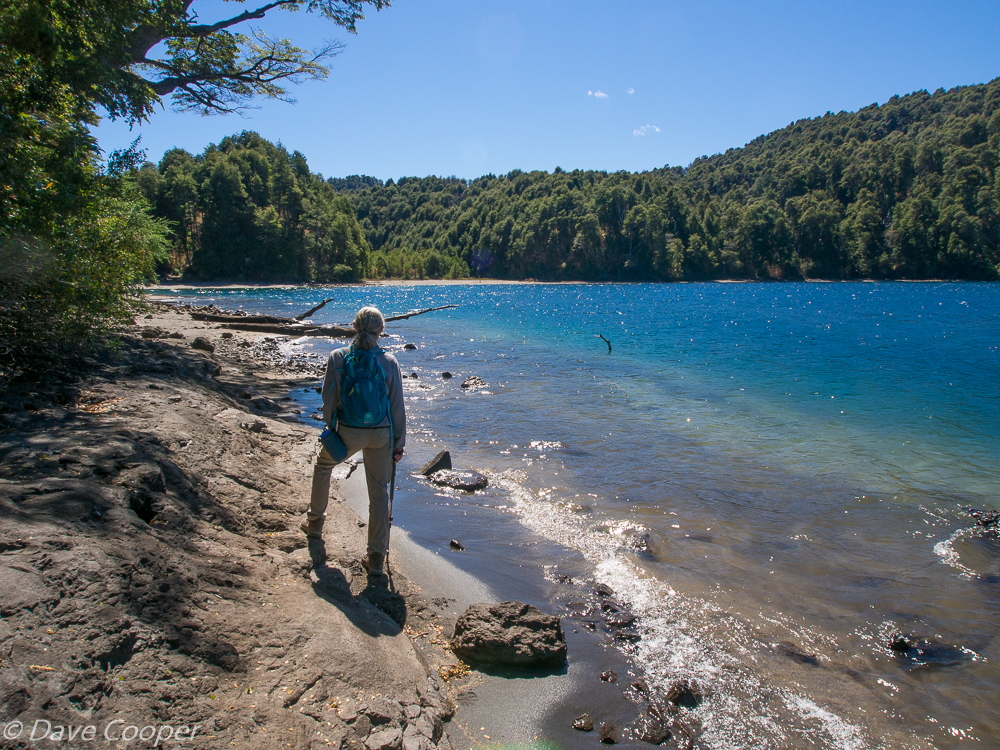
Bahia Mansa, Peninsula Quetrihue -
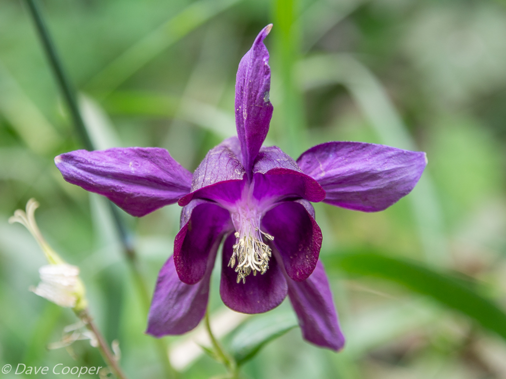
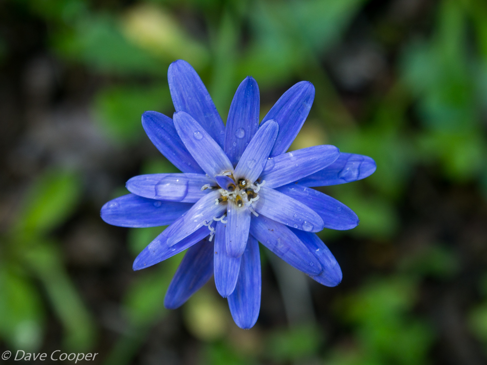
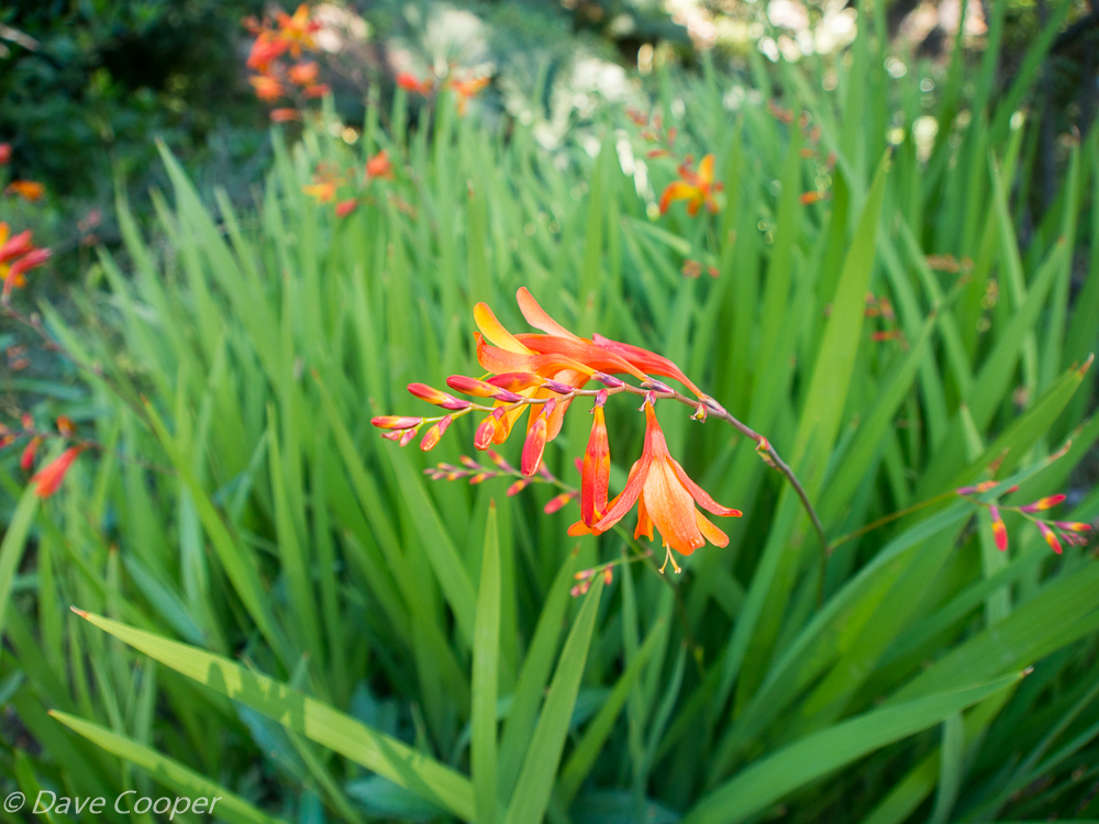
Columbine -
Bosque Los Arrayanes -
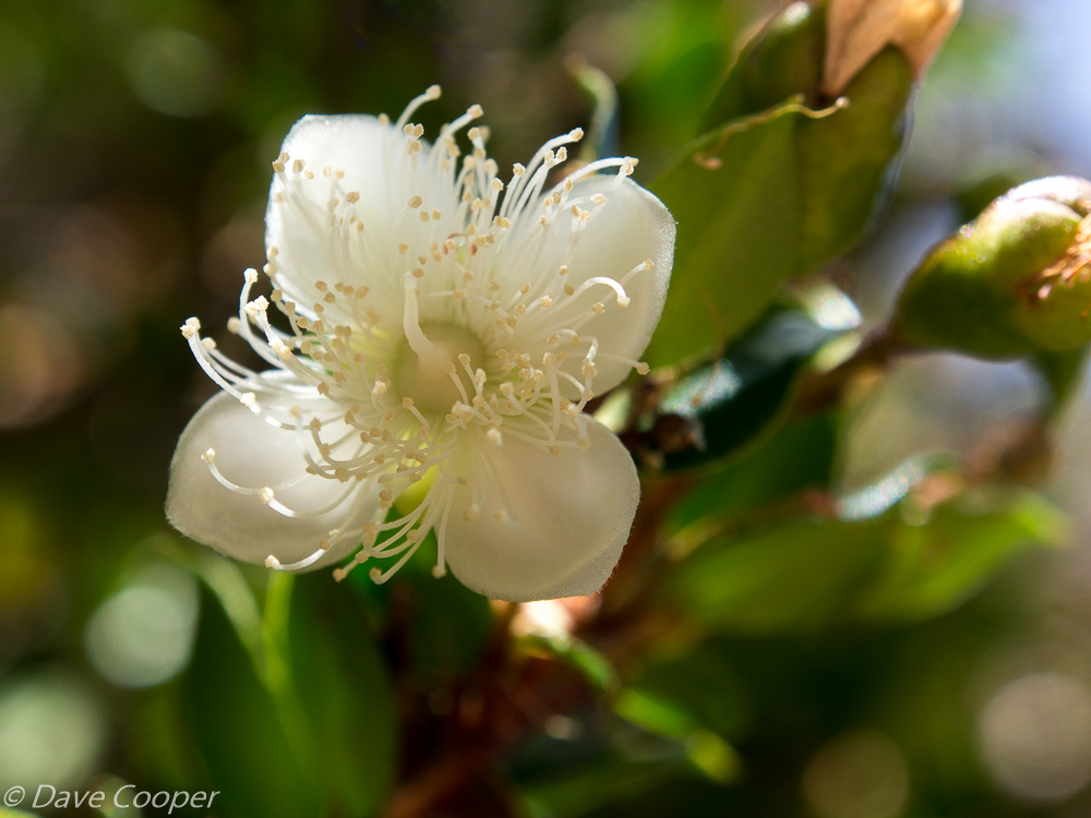
Arrayanes Flower -
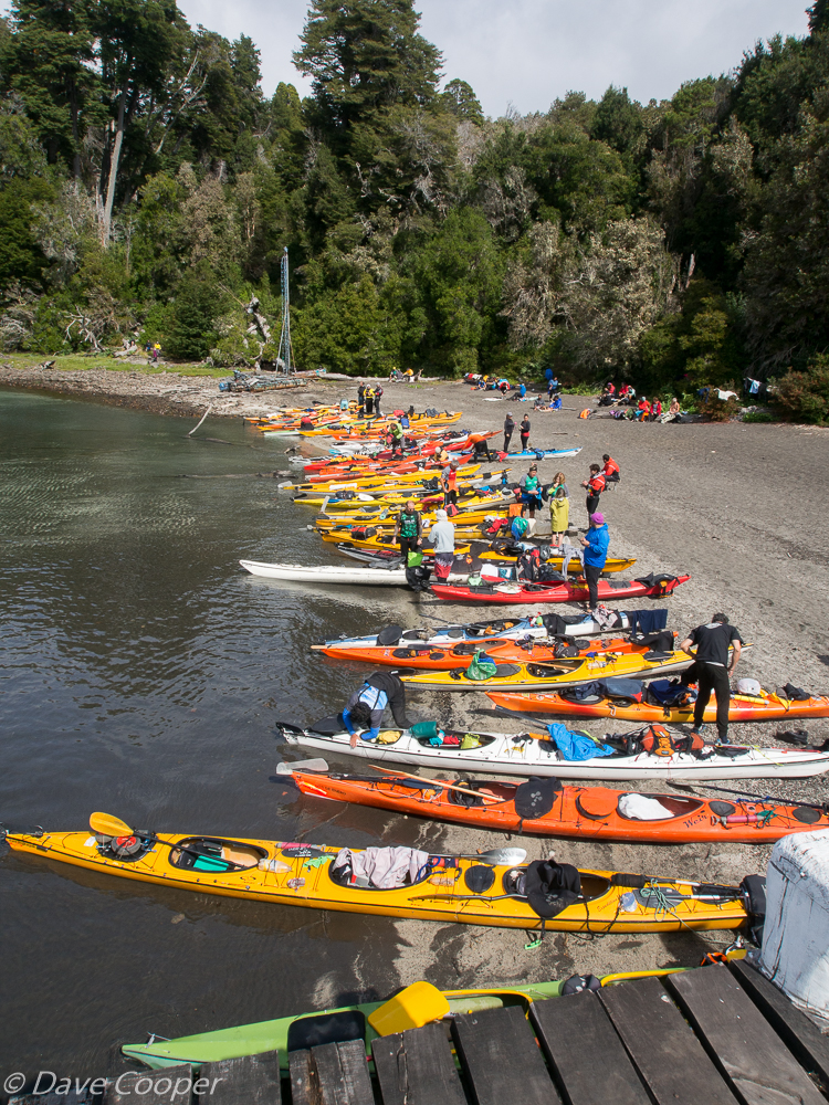
Kayakers on the beach , Parque Nacional Los Arrayanes -
La Villa Puerto, Angostura -
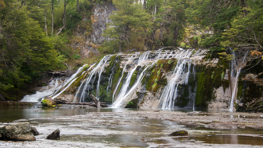
Cascada Nivinco -
Cascada Nivinco -
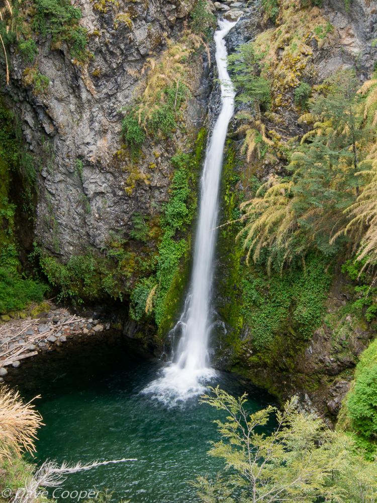
Cascada Inacayal
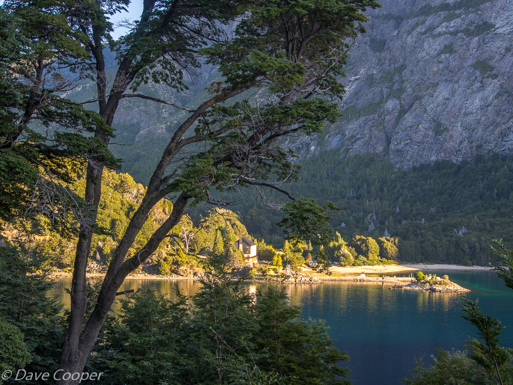
Our next and final stay for our part of the trip (Cecilia and Andrew stayed longer) was centered around Llao Llao. We hiked several trails on the peninsula, enjoying more great scenery.
-
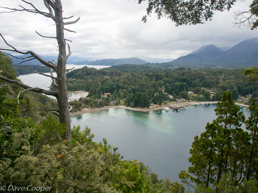
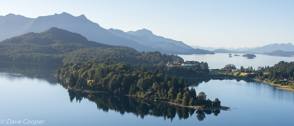
Punto Panoramico -
Punto Panoramico -
-
Llau Llau -
Cerro Lopez from Lago Moreno -
-
-
-
-
-
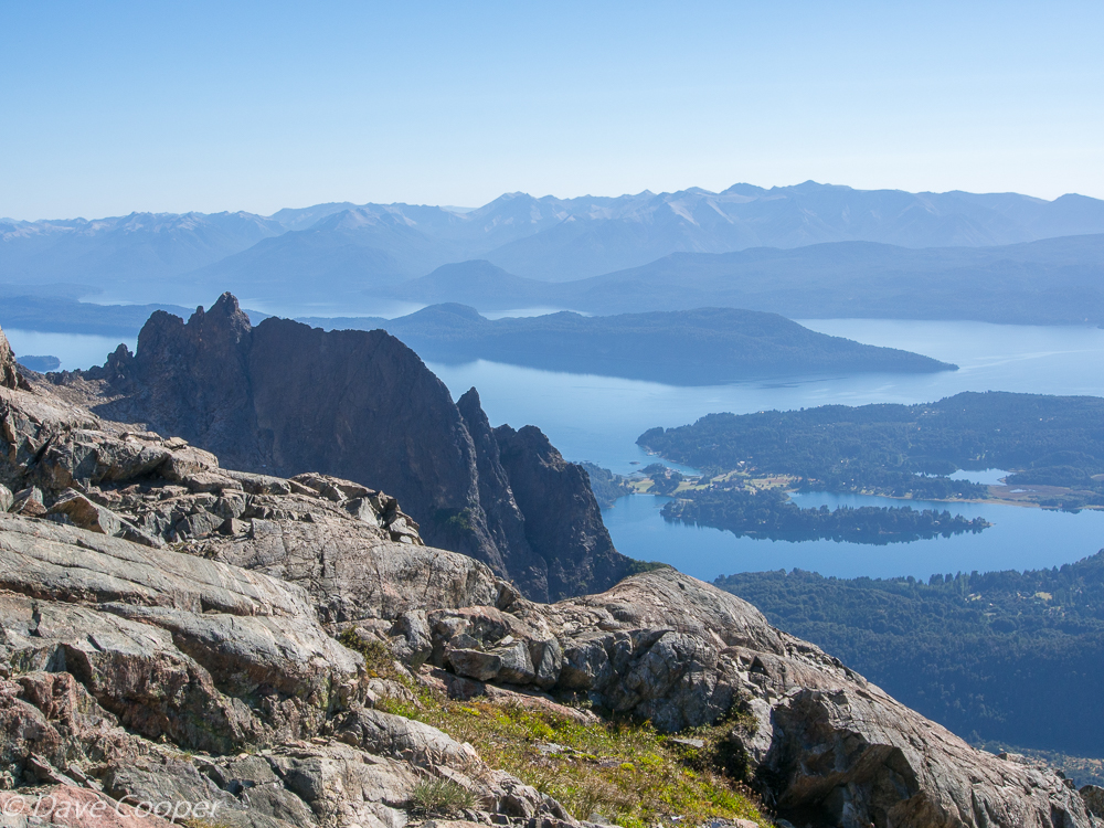
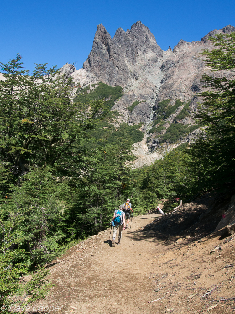
Our last day before flying home was one of the highlights of the trip, a climb of Cerro Lopez, a long hike and scramble (9 miles round trip and 5400 feet of elevation gain) to a summit with more amazing views.
-
View from the trail on Cerro Lopez -
Refugio Lopez -

The route, marked with painted red dots and arrows -
Above Refugio Lopez -
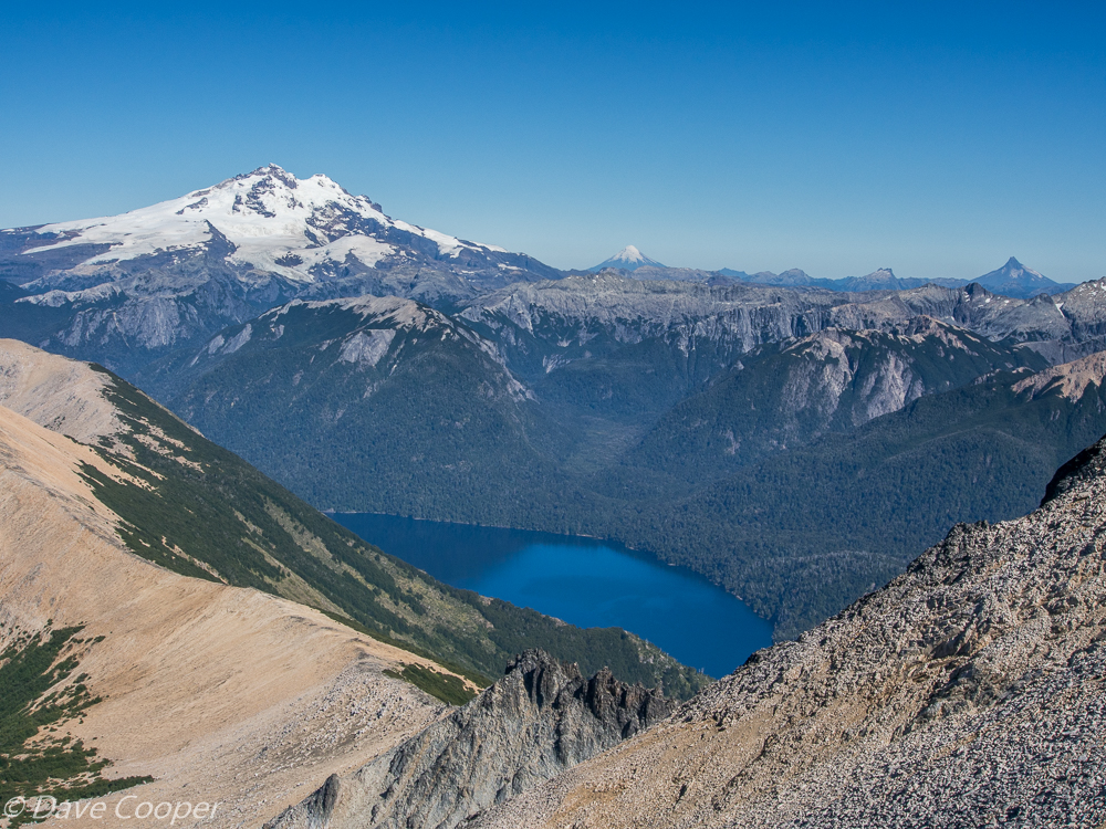
View from the summit of Cerro Lopez. Tronador and Chilean Volcanoes -
Cerro Lopez -
View from the Cerro Lopez trail
-
-
Hiking down the trail below Refugio Lopez -
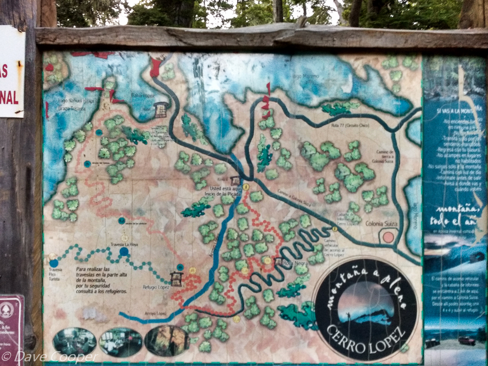
The route on Cerro Lopez
9 miles round trip and 5400 vertical feet
An excellent way to finish our trip.